



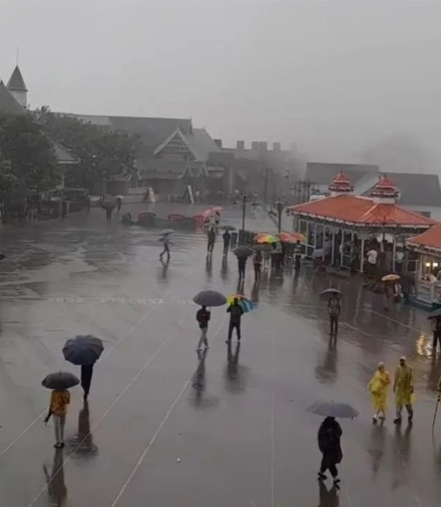
Shimla, November 9: Himachal Pradesh is likely to experience a change in weather conditions from November 10 as a fresh western disturbance approaches the western Himalayan region, bringing the possibility of rain and snowfall across different parts of the hill state. According to the latest forecast issued by the India Meteorological Department (IMD), isolated areas may receive light rain or snowfall on November 10 and 11, while scattered precipitation is expected on November 12 and 13. The higher reaches are likely to witness snowfall, while middle and lower hill regions may receive rainfall. The weather activity is expected to intensify the winter chill, particularly in high-altitude and tribal areas. The IMD has also warned of thunderstorms and lightning at isolated places on November 12 and 13, for which a yellow alert has been issued. The forecast indicates that minimum temperatures may remain largely unchanged over the next two to three days before declining by around 2–4 degrees Celsius during the following two to three days. Maximum temperatures are also expected to fall gradually by approximately 2–5 degrees Celsius after remaining relatively stable initially. The impact of the approaching weather system is already being reflected in the colder nights across the state’s higher elevations. Kukumseri in Lahaul-Spiti recorded the lowest minimum temperature at minus 2.5 degrees Celsius on November 7, while Keylong and Tabo registered 0.1 degrees each and Kalpa recorded 3.6 degrees Celsius. These conditions indicate that the arrival of fresh precipitation could further strengthen the cold conditions in the mountain belt. The weather department’s updated forecast also suggests that the state will not experience continuous widespread rainfall throughout the four-day period; rather, the intensity and geographical spread of precipitation will vary, with the possibility of isolated activity initially followed by more widespread showers in some areas on November 12 and 13. The latest forecast differs slightly from the earlier expectation of the system becoming active only from November 11, as the IMD now indicates that its influence may begin on November 10. Residents, tourists and people travelling through high-altitude routes should keep track of official weather bulletins, particularly in areas likely to receive snowfall and thunderstorms.